
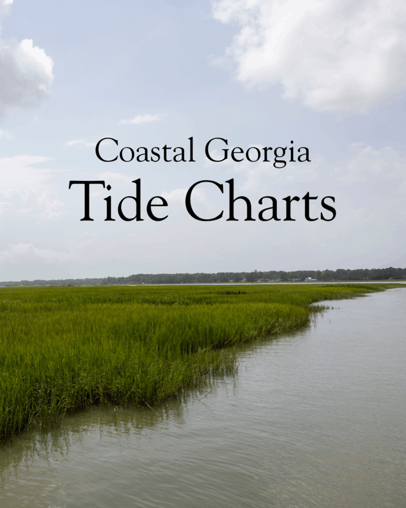
The Coastal Georgia tides swing somewhere between six and nine feet, which is among the biggest ranges on the East Coast, and that swing can greatly affect what your day looks like.
A beach that’s wide open at low tide can be all the way up to the dune line a few hours later. A creek you launched a boat in can turn into a mud flat before you make it back. That is why we pulled together this set of Georgia coast tide charts, with one for every stretch you’re most likely to be standing on, fishing in, or launching from.
Tybee Island
Pull up the Tybee Island tide chart before you load the car, because low tide is when the beach really opens up and the back river flats get good for fishing and kayaking. It’s also worth a look if you’re driving in around a king tide, since the marsh has a habit of creeping up over Highway 80 and turning your trip into an adventure you didn’t sign up for.
Tide forecasts by SeaLegs
Darien
If you’re putting in a boat in Darien, fishing the river, or catching the ferry over to Sapelo Island, the Darien tide chart is the first thing you’ll want to read. Those marsh creeks that look so inviting at high water can leave you parked in the pluff mud when the tide drops out, and nobody wants to be the story everybody tells at the brewery that night.
Tide forecasts by SeaLegs
Brunswick
Brunswick sits back off the ocean, tucked into the rivers and marsh, which means the tide here runs on its own schedule and lags behind what you’ll see out on the island beaches. For anybody launching a boat or working their way through the creeks, the Brunswick tide chart is the difference between an easy day on the water and a long, muddy wait for the water to come back. Check it before you head out, and then check it again for when you’re hoping to come home.
Tide forecasts by SeaLegs
St. Simons Island
St. Simons is where folks come to do a little of everything, and almost all of it bends to the tide. Low tide opens up East Beach and a walkable stretch of sand in the village. The marsh side is best paddled when the tide is working with you instead of against you. The pros say the crabbing is best at slack tide (about 1.5 hours after high or low tide). Give the St. Simons Island tide chart a look no matter what you came to do!
Tide forecasts by SeaLegs
Jekyll Island
Driftwood Beach is the reason most people go looking for a Jekyll Island tide chart because that graveyard of weathered oaks shows off best when the tide is low. But low tide is also when you’ll want to ride a bike along the hard-packed sand, hunt for shells down at the south end near St. Andrews, or drop a line off the pier. Whatever pulled you to Jekyll today, the tide probably has an opinion about the best time to do it.
Tide forecasts by SeaLegs
St. Marys
St. Marys is the last stop before the Florida line and the launching point for the ferry over to Cumberland Island. The boat runs on its own clock, but everything else down here answers to the tide, whether you’re fishing the St. Marys River, paddling the backwaters, or poking around the waterfront., keep the St. Marys tide chart handy.
Tide forecasts by SeaLegs
More info for those who love to be by the water
- The Very Best Jekyll Island Boat Tours
- St. Simons Island Locals’ Beach Guide
- Georgia Beach Camping: Where to Pitch Your Tent by the Sea
- Dog Friendly Beaches in Georgia: Where to Take Your Four-Legged Beach Bum


Leave a Reply